AI-Powered Analysis with Proven Impact
Our technology goes beyond pretty maps, delivering actionable insights that drive real results.
Yield Estimation
Predict harvest volumes before the season ends
Health & Soil Nutrient Monitoring
Track crop vitality and soil conditions
Weed Detection
Pinpoint weed locations for targeted treatment
Early Disease Warning
Detect problems before they spread
Results Within 1 Day
Fast turnaround for time-sensitive decisions
Real Results
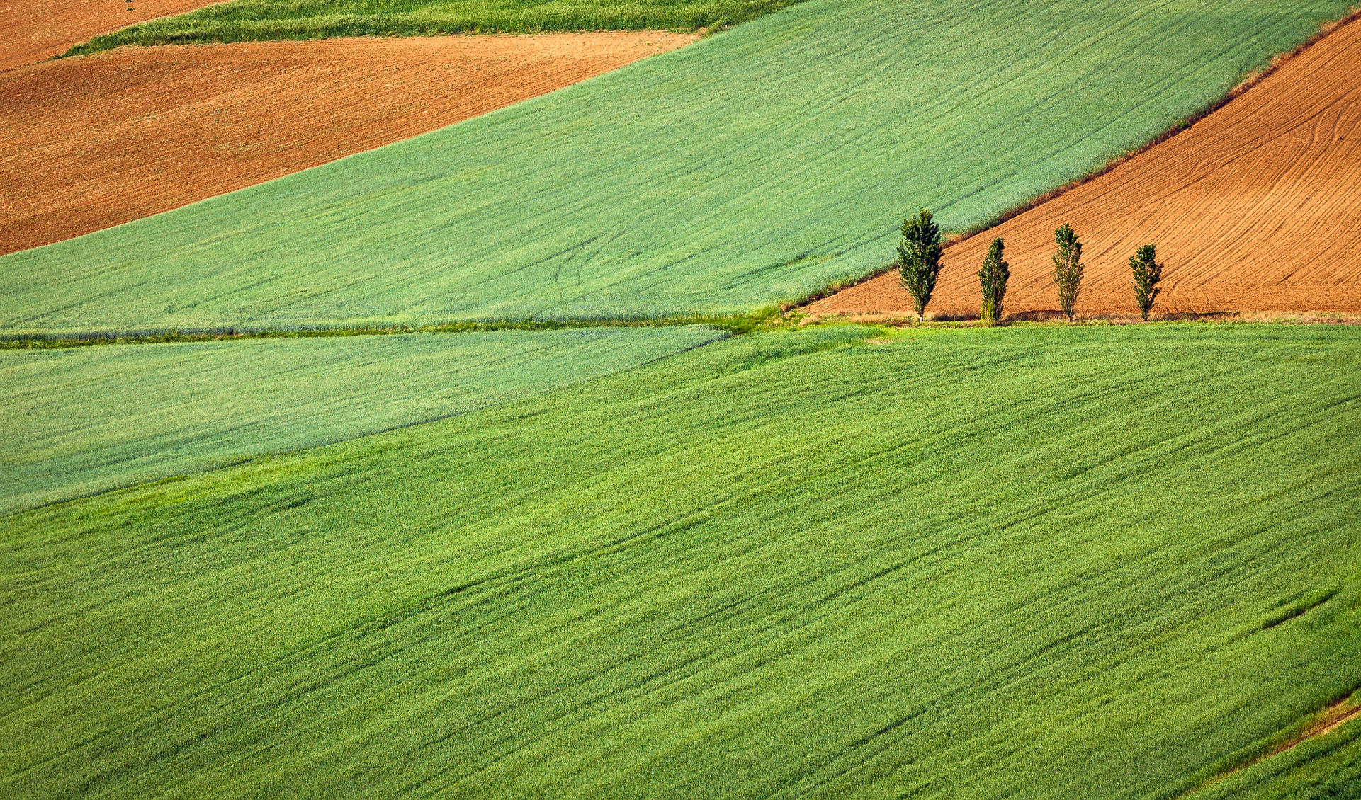
See Our Technology in Action
Drag the slider to compare raw aerial imagery with our AI-processed analysis. These are real case studies from Ontario farms.
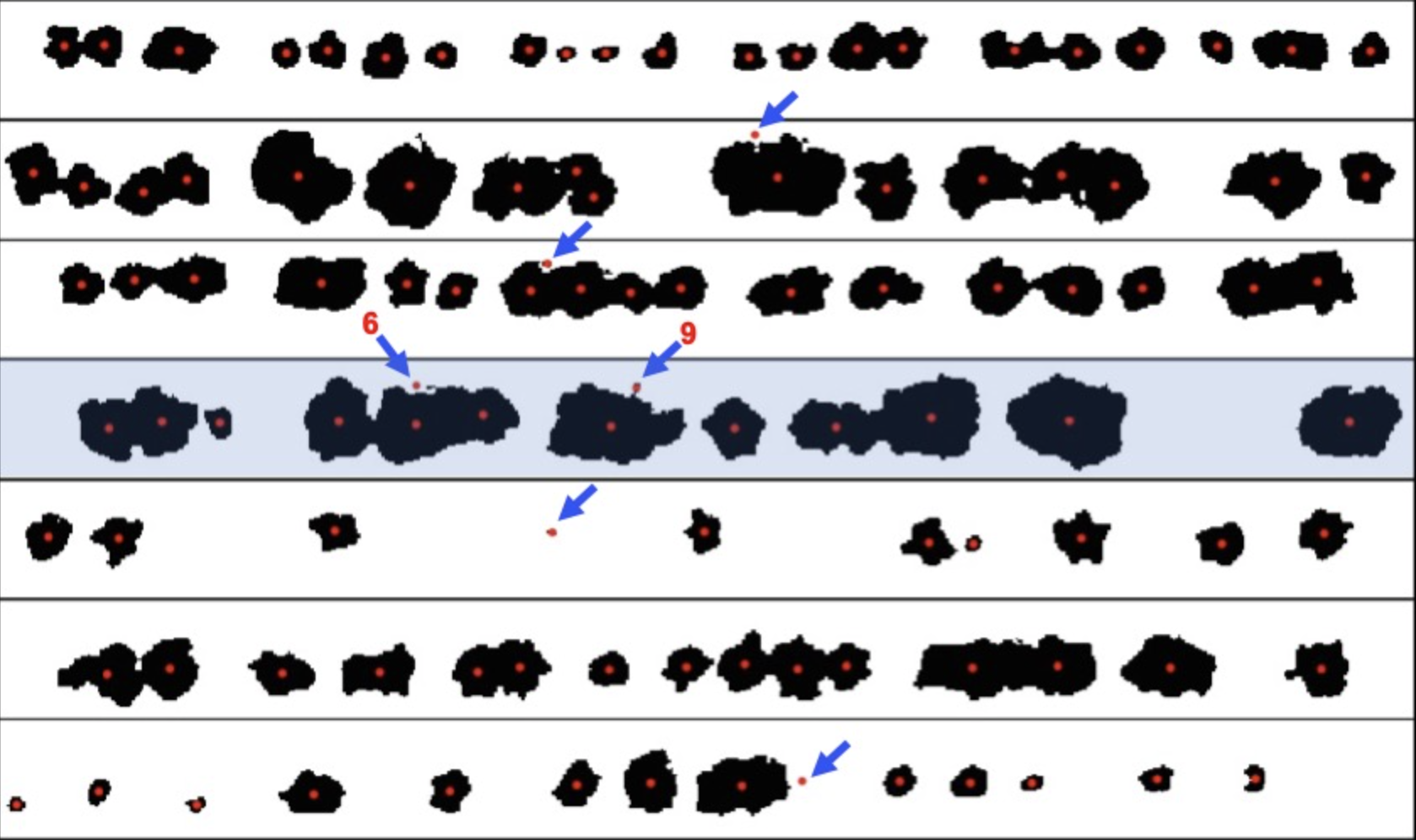
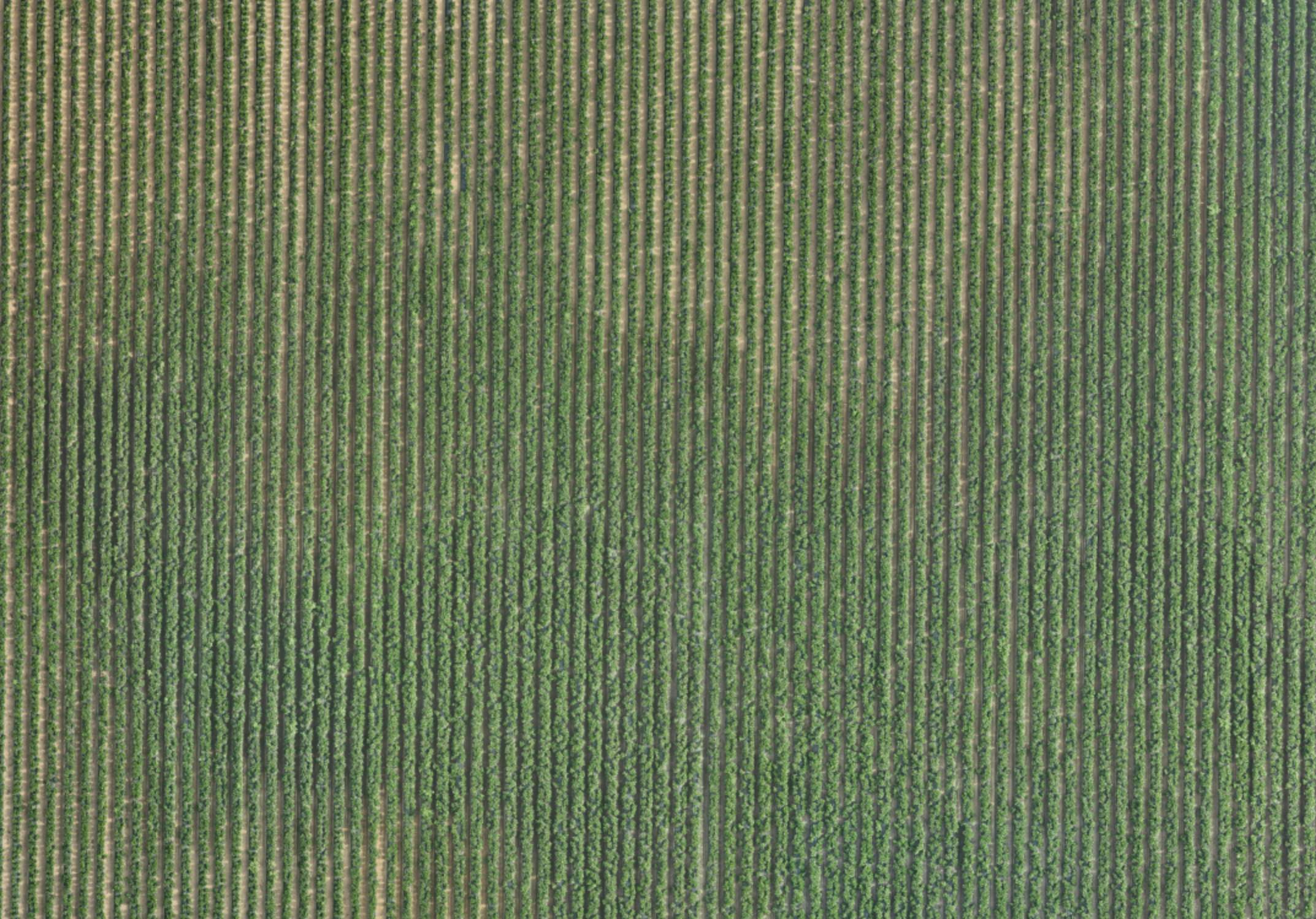
Stand Count
Know exactly the distribution and status of your crop. Our AI identifies and counts individual plants, measures canopy volume, and assesses plant health across your entire field.
2,847
Plants Counted
94%
Emergence Rate
Healthy
Canopy Status
Use case: Data-driven decisions for chemical application timing and harvest planning. Identify gaps and replanting needs early in the season.
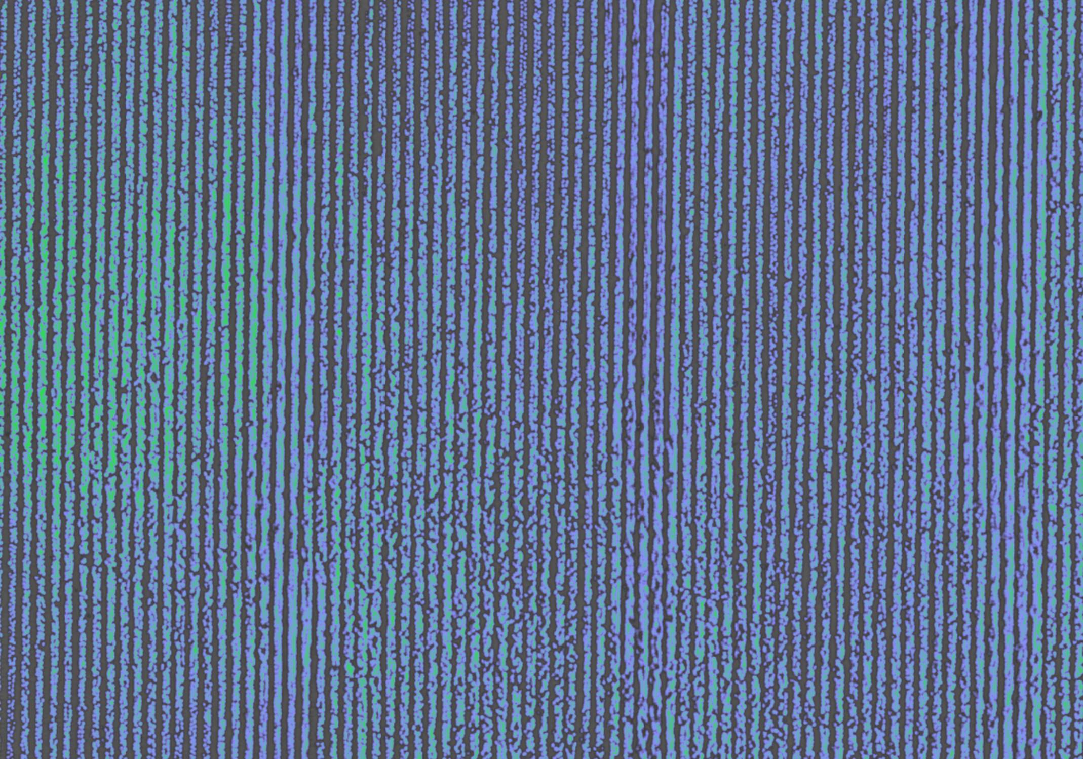
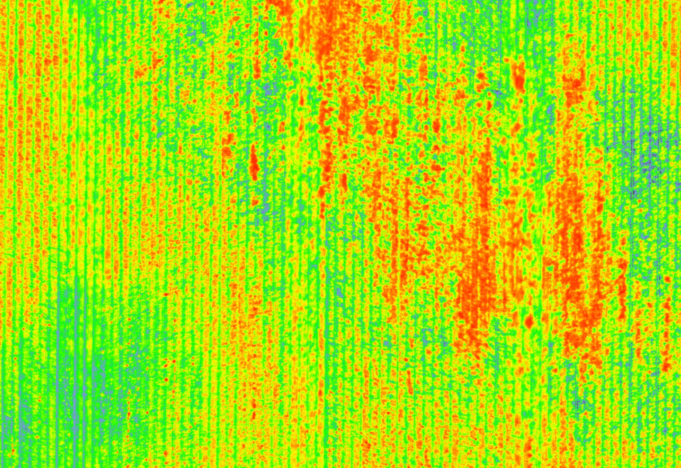
Stress Prediction
Detect nutrient deficiencies and canopy volume shrinkage before they become visible to the naked eye. Our multispectral analysis creates detailed stress maps showing exactly where your crops need attention.
Use case: Target fertilizer application only where needed, reducing chemical costs and environmental impact while maximizing crop yields.
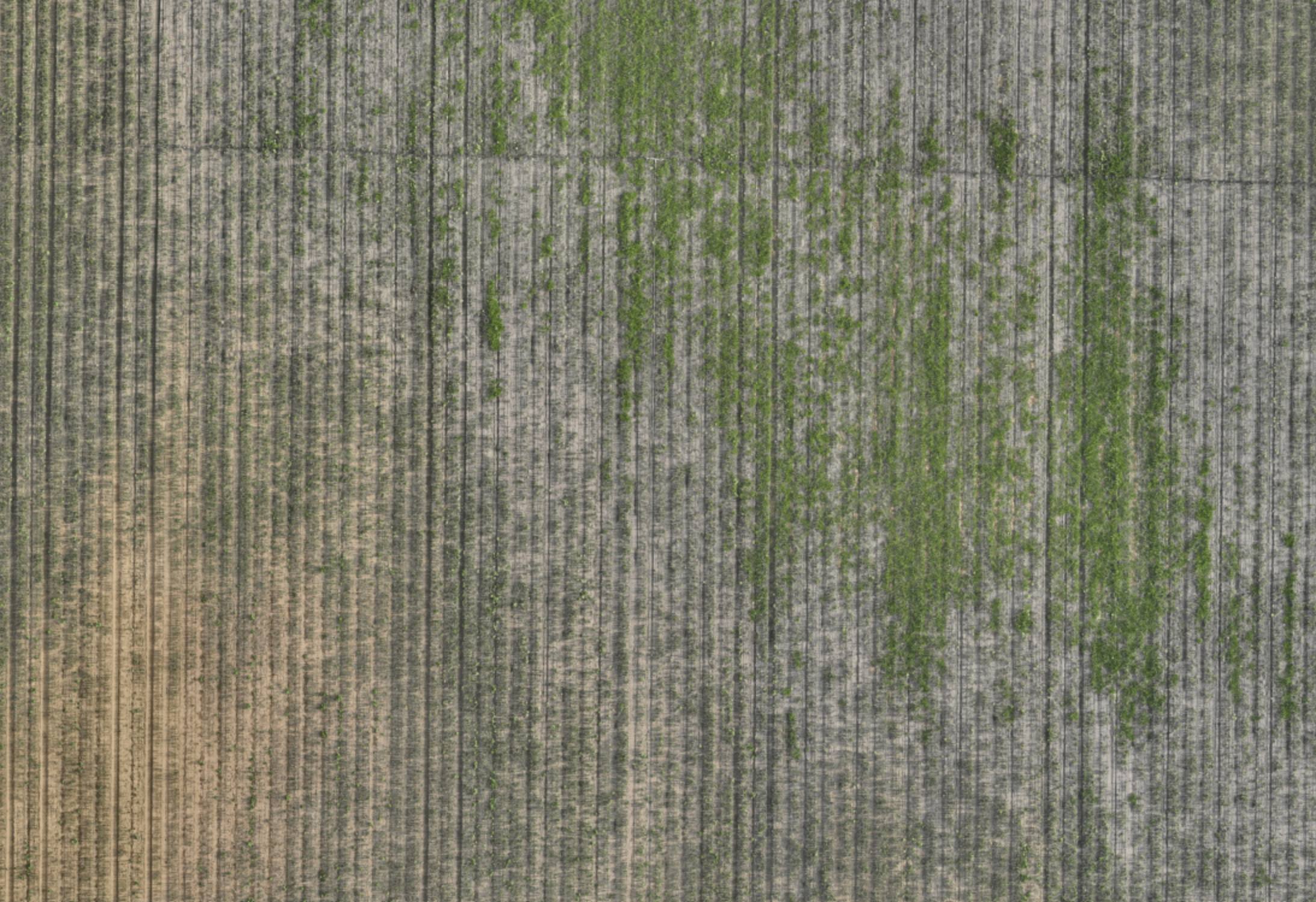
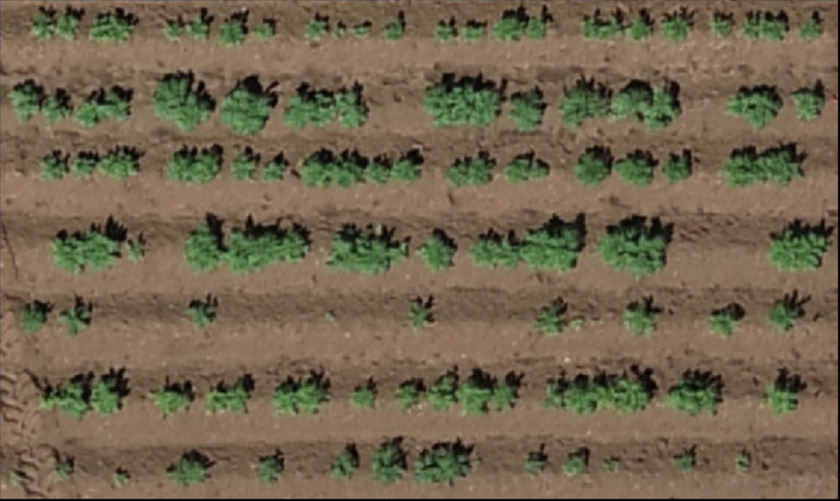
Weed Detection
For crops like onion, broadleaf weeds are especially challenging because herbicides that kill weeds can also harm the crop. Our AI mapping identifies weed locations precisely, enabling targeted intervention.
Smart Application: Use weed maps to guide drone sprayers to only treat affected areas, or plan manual weeding crews to specific zones, saving time and chemical costs.
Use case: Workforce planning, chemical planning, and precision spot-spraying with drone guidance for maximum efficiency.
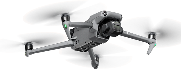
Our Equipment
DJI Mavic 3 Multispectral
The Mavic 3 Multispectral is the industry's most advanced compact imaging drone for precision agriculture. With dual cameras (RGB and multispectral), it captures data that transforms how you manage your fields.
4×5
MP Multispectral Sensors
43
Min Flight Time
20
MP RGB Camera
RTK
Positioning Ready